RESEARCH PRODUCT
- River Ice Mapping System
- Sea Ice Mapping From Geostationary Satellite
- Global Land Surface emissivity
- Global Inundation Monitoring System
- Coastal Flooding from High Resolution Satellite Imagery
- Soil Moisture estimates in northern watersheds
- Dryness product from GOES Geostationary Satellite
DEVELOPED PRODUCTS:
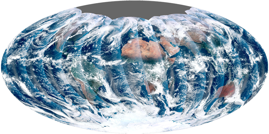 The first complete global image from NPP VIIRS