Global Inundation Monitoring System
The first release of our daily global Soil Wetness Index (SWI) product (Version 0.1.0) is out!
The objective of this study is to develop global Soil Wetness Index (SWI) and Inundation maps using NPP-ATMS microwave brightness temperature measurements. Swath size brightness temeperature data are mosaiked together to form daily global maps. Global SWI maps are calculated as the difference in birghtness temperature between channel 16 and channel 1 (Grody et al., 2000).
Ultimately, the global SWI data will be used to generate global inundation/flooding monitoring system which would indicate regions of potential flooding. The inundation locations are delineated by calculating the Soil Wetness Variation Index using SWI values (Lacava et al., 2006). A similar variational index concept, polarozation variational index from AMSR-E 37 GHz channel has been used to study the extent of the 2008 flood in Iowa (Temimi et al., 2011). Icy or frozen grounds have been filtered out using channel 16 and channel 1 from ATMS. This criteria is originally set by Kongoli et al., 2006.
Samples of SWI and Inundation data are available
upon request. Please contact:
Kibrewossen Tesfagiorgis, PhD
Postdoctoral Scientist
The Department of Civil and Environmental Engineering, CCNY, CUNY
NOAA-CREST Institute
P: 212-250-6596
ktesfagiorgis@ccny.cuny.edu
High values of SWVI (Potentially wet surface)
Soil Wetness Index (SWI)

Refrences:
Grody, N. C., Weng, F., and Ferraro, R. R.: Application of AMSU for hydrological parameters, in: Microwave radiomemetry and remote sensing of the earth’s surface and atmosphere, edited by: Pampaloni, P. and Paloscia, S., VSP, The Netherlands, 339–352, 2000.
Kongoli, C., Pellegrino, P., Weng, F., Ferraro, R.R.: Evaluation of the AMSU land surface temperature algorithm for skin and shelter-air temperature retrievals. Extended abstract presented at the 14th Conference on Satellite Meteorology and Oceanography, part of the 86th AMS Annual Meeting, Atlanta, Georgia, January 2006.
Lacava, T., Di Leo, E. V., Pergola, N., and Tramutoli, V.: Spacetime soil wetness variations monitoring by a multi-temporal microwave satellite records analysis. Phys. Chem. Earth, 31, 1274– 1283, 2006.
Temimi, M., Lacava, T., Lakhankar, T., Tramutoli, V., Ghedira, H., and Khanbilvardi, R.: A multi-temporal analysis of AMSR-E data for flood and discharge monitoring during the 2008 flood in Iowa. Hydrol. Process. 25, 2623–2634, 2011.
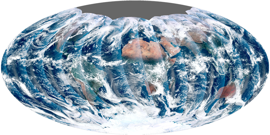 The first complete global image from NPP VIIRS